


VeloPlanner
Looking for a Komoot alternative? An honest answer from people who build one
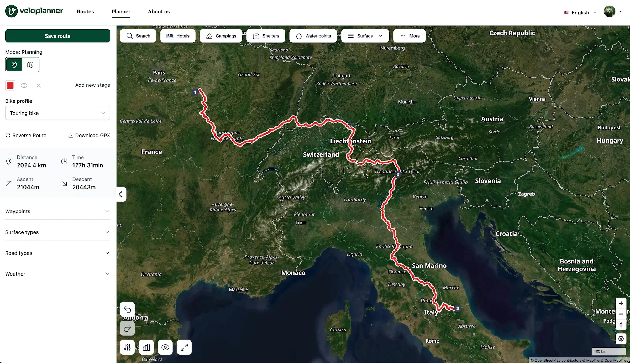
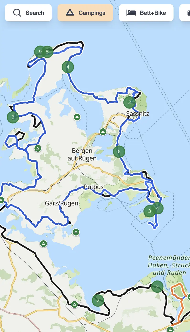
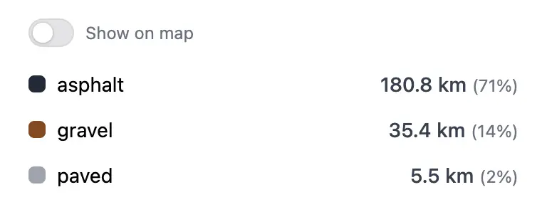
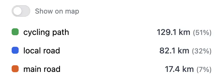
Looking for a Komoot alternative? An honest look at when VeloPlanner is the better choice for planning cycling trips — and when it isn't.
 Kacper Goliński


